Trans Québec Trail 2026: Magog to Mont-Saint-Pierre

The tour this year was not ambitious but had everything needed to satisfy the itch.

Last year I rode a section of the TQT solo but abandoned it after a week for a few reasons. For one, I found it a little lonely. The Austrian poet Rainer Maria Rilke advised his protégé Franz Kappus that he had to be comfortable “walking through hallways of solitude” if he wanted to become a good poet, and I’m pretty comfortable with my own company, but hours and hours of riding alone through forest did get a little boring. It’s also not that safe. It’s not advisable to ride solo off-road, particularly in remote areas. I also had a bike that wasn’t starting reliably, and it was also top-heavy and difficult to lift fully-loaded on my own. Added up, I was riding with a constant low-level stress detracting from the enjoyment of the tour.

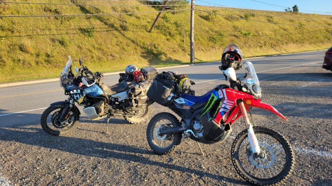
This year I changed all the elements that were holding me back. I swapped the 500 lb. Tiger 800XC for a 330 lb. Honda CRF 300 Rally, and best of all, I was riding with a buddy; my friend Riley from The Awesome Players Off-Road Club was interested in doing some of the trail. He was on his Norden 901 Expedition, a bike 3x the size of my Honda, so we were looking a little like Laurel and Hardy as we headed off down Highway 10 toward Magog. We had decided to pick up the TQT there and ride it as far east as we could in the five days we had.

The trail east of Magog is easy concession roads passing through farmland, with horses and cattle grazing at the sides of the road and crops extending over rolling hills to mountains on the horizon. Just east of Stanstead, we dropped down and road along the Canada-US border for a few kilometres. The road was in Canada but the ditch was in the The States, and I couldn’t help thinking about the current tariff war that is dominating the news, and how our good relations with America have soured during President Trump’s current term. We are into a war of words now, but despite what the politicians and talking heads are saying in front of the cameras, most Canadians are united in staying the course and not capitulating to Trump’s demands by signing a deal under threat that isn’t good long-term for Canada.

The world’s longest undefended border. You can see the cement markers along the fence-line.

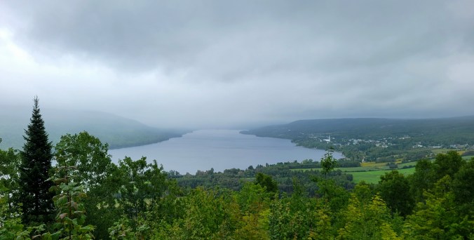
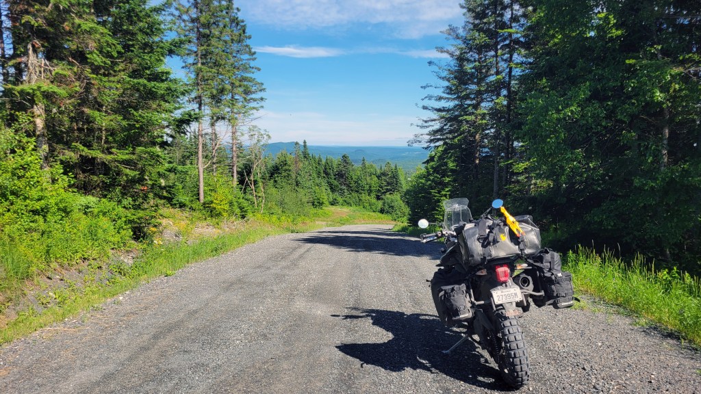
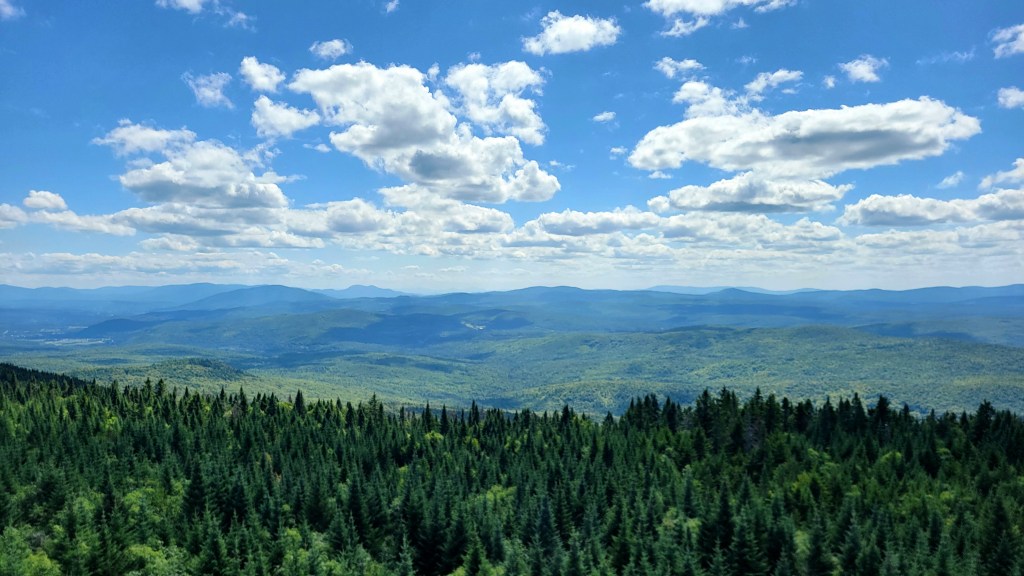
Soon we were ready for a break and took the diversion to the Mont Hereford Lookout, which now provided a view out over Quebec and south to Vermont and New Hampshire (banner image above). We were so high, we could almost spit or whiz onto US soil, not that we would want to do that!

Our next stop was at the Tim Horton’s in Lac Mégantic to borrow their WIFI and charge up with caffeine. After a quick stop at the memorial and site of the 2013 rail disaster, we continued on, determined to put as many miles as possible in before the light faded. The best riding of the day was during the golden hour that took us along the Chaudière River to 2 Rivers Campground.

2 Rivers is a classic RV park and not really my cup of tea, but when you’re putting in long days in the saddle, you’re just thankful for a site, and in my case, one with a couple of trees for my hammock. They tucked us in the tenting section, which predictably was empty so we had a lot of privacy to drink and listen to music. There was some competing music coming from somewhere and late in the evening we decided to take a walk up through the park, and as we approached a large tent I realized the music was live. I guess we caught the season-end party and the band was really good! Unfortunately, despite having a working knowledge of French (Riley’s is better than mine), neither of us could understand a word of the French vocals, making us feel like the minorities we were and just how separate the two solitudes of Quebec truly are.

The next day took us into our first ZEC and where I had split off the previous year, not feeling comfortable venturing into these regions alone. What is a ZEC? It’s a Zone d’Exploitation Contrôlée, poorly translated as a “controlled exploitation zone”—hunting, fishing, and other ways one can exploit nature. I’m sure there are more than a few environmentalists who cringe at this naming. These are “gated” regions requiring a permit to enter, even if you aren’t going to kill anything, and there isn’t much in them but animals to kill and the odd hunter. You wouldn’t think that nature reserves and motorsports go well together, but if you’re on an adventure bike, the trails and forest access roads that cross ZECs make for good riding.

Normally, you have to stop and pay an entrance fee for each ZEC or risk being fined $500, but this year Marc Chartrand of Ridaventure has managed to negotiate an agreement between the TQT and the ZECs. You buy a sticker at a cost of about $57 and it grants you unlimited access during the calendar year to the 25 ZECs the trail crosses. Not only is this a lot more convenient for riders but it’s also a pretty good deal because the individual entrance fees can be upwards of $40.
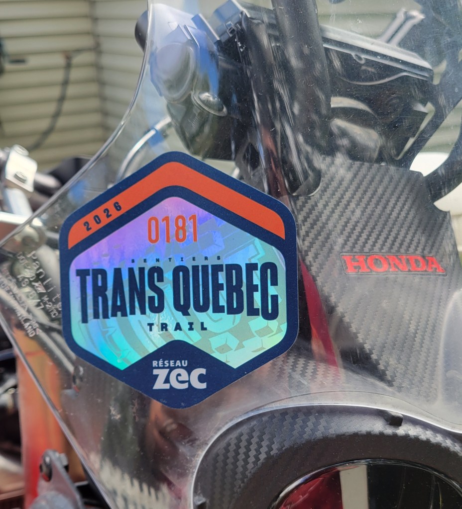
As you can see, we were among the first to use this new system, and let me just say that some of the wrinkles still need to be ironed out. We arrived at our first “gate,” which was an unstaffed electronic kiosk, and Riley spent 20 minutes filling out online forms, similar no doubt to the ones we filled out when we ordered the TQT sticker (i.e. name, address, make and model of bike, licence plate number), only to discover there was no option for Ridaventure, only other options with more charges. The cheapest of these had something to do with gathering (presumably berries, or such?), but since we were only gathering mud, that didn’t apply. We decided to risk it and, with stickers clearly visible, ventured bravely into the controlled zone. If this is sounding like the language of 1984, Logan’s Run, or some other dystopian story, that’s a little how it felt.

We emerged unhunted and rode into Pohénégamook, a place I have only now learned how to pronounce let alone spell. The name comes from the Indigenous Abenaki word ponegamikw, which translates to “winter camp.” Local First Nations set up camp around the lake in winter to . . . you guessed it, hunt. It’s geographically an odd little town nestled right on the Canada-US border right at the northernmost tip of where Maine juts up into Canada and near the New Brunswick border.
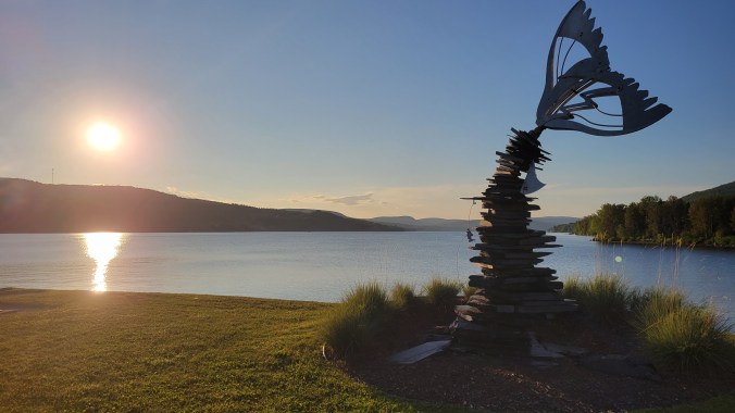
  • Looking north from the southern tip of the lake
  • Our loaded bikes
  • Montagne de la Croix Lookout

Unfortunately, the next day the weather turned on us. Riley was in an MSR Xplorer ADV Suit which kept him cozy and warm, but I had risked wearing my Klim Traverse jacket. I knew the Gore-Tex weatherproofing was vulnerable—I’d been caught in rain before while commuting—and it wasn’t long before I was soaked to the skin. My Carlsbad pants generally held up, but I have to contact Klim about the Gore-Tex lifetime warranty on the jacket. Hopefully they won’t say, as someone once joked, “you have outlived the warranty.”

Rain aside, the riding was great! We crossed two more ZECs, which offered more challenging riding. At times we were routed onto some 2-track snowmobile trails and I was happy to be on the little Honda, and another time two moose crossed the trail in front of us. I wasn’t filming at the time so didn’t catch much of them (watch until the end).

Sorry about the rain droplets on the camera; I have to remember to wipe it more often. We popped out at Amqui and found a site at the municipal campground there.
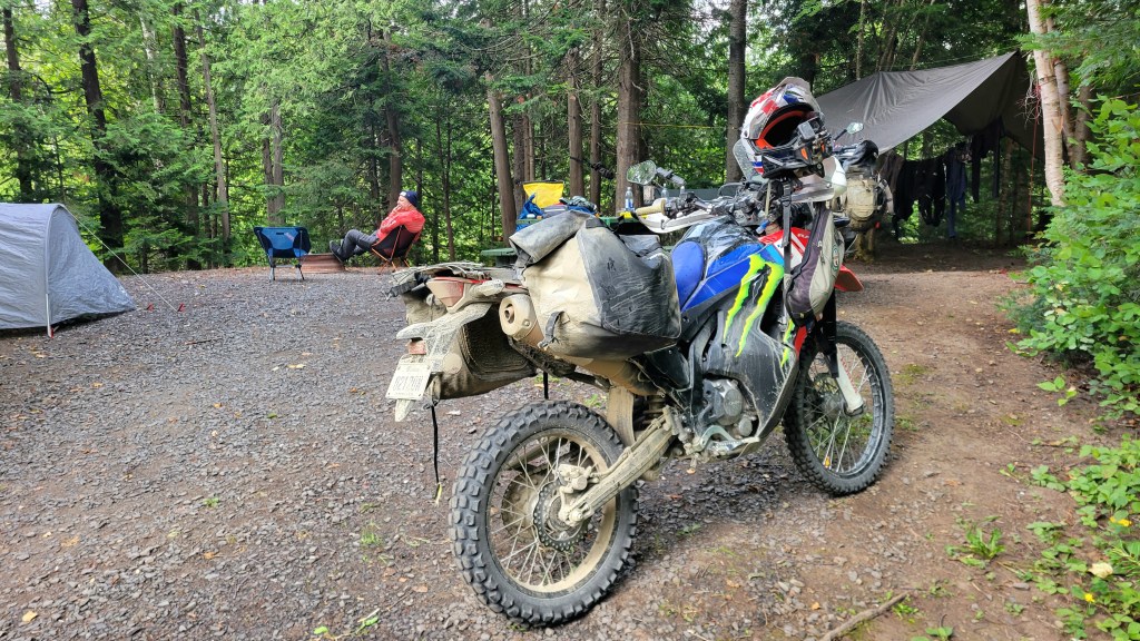
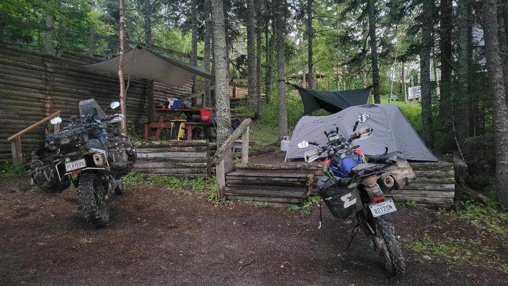
Set up for the night at Amqui Municipal Campground. My hammock is off-screen. Gear drying on the line under the tarp.

This was the first real tour on the Honda with the Enduristan Monsoon 3 bags, and overall I was very happy with them. I had to remove my passenger pegs and replace each with a fabricated nylon strap with grommets to use as a tie-down point. The built-in elasticated ROKstraps of the Monsoon 3s ensure the bags don’t flop around, and each bag takes 30L for a total of 60L. A little wet-dry bag on top was all I needed for all my camping gear, including a little food.
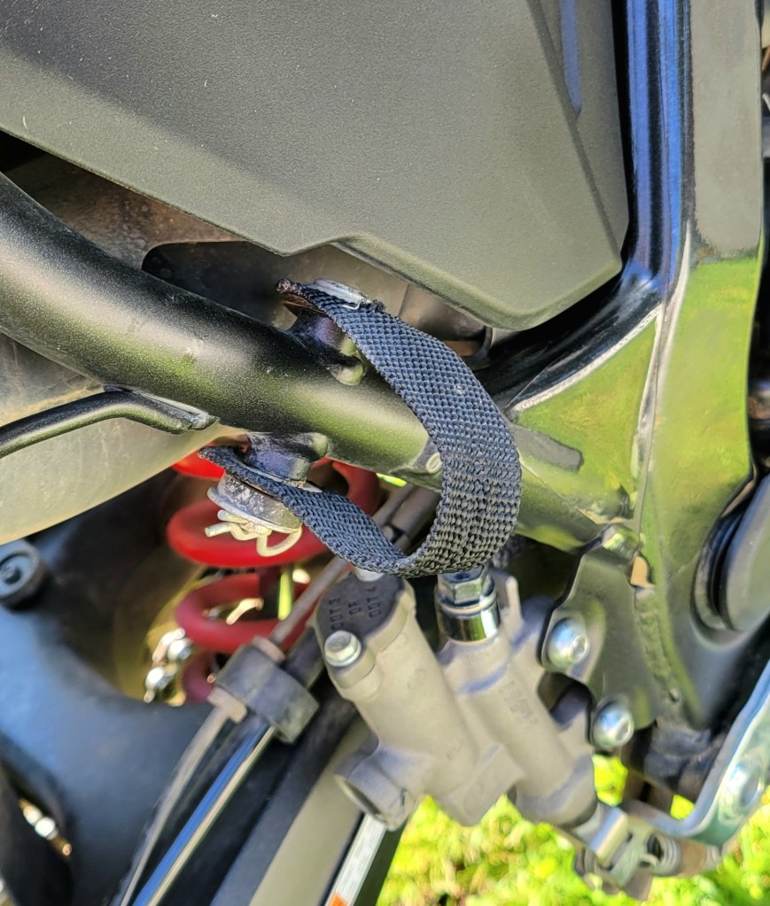
You can use original hardware from the pegs. I added a more robust cotter pin.

After nearly two full days off road, we were ready for some asphalt and headed up toward the coast. Riley had never ridden any of the 132 and I knew how awesome it is after riding it around the Gaspé peninsula en route to Newfoundland. We asked Kurviger to come up with an interesting route to the coast, and Kurviger never disappoints. My phone wasn’t charging from all the water of the preceding day, so Riley led with his wireless charger. It’s always a fun challenge trying to keep up with him, especially on the little Honda.

The Honda keeps up just fine in the corners but I have to downshift to 5th and wring its neck a bit on the climbs. That flashing white light on my display at 7,000 rpm is telling me to upshift but 6th is an overdrive gear that doesn’t do well climbing, especially with the bike fully loaded. I generally try not to go above 7,000 for prolonged periods of time but I do to pass other vehicles as needed. It’s all part of the trade-off of having a bike that weighs 330 lbs. This is not a bike for highway riding but trails and maybe some secondary highways. I can see taking this bike across Canada on the TCAT someday. I would have confidence doing that on it, knowing how capable it is off road, how light it is to lift, and how reliable it is as a Honda.

Suddenly as we crested a hill the air turned cool and I knew we were approaching the river, or as they like to call it along the gulf, la mer (the sea). That naming is mostly for tourist dollars but the river here looks like the sea and smells like the sea, and if you surrender to the idea it can feel like the sea. The mountains on the opposite side of the road are dramatic. The 132 never disappoints and I could ride it all day. In fact, that’s pretty much what we did. We didn’t want to stop and the views kept drawing us further east, although we knew that each kilometre further was another kilometre we’d have to ride to get back to Montreal the following day.

We were looking for food and, after an impromptu peanut-butter and syrup sandwich at the lighthouse, we found some fish & chips in Mont-Saint-Pierre. This was our turnaround point and, now powered up, we headed back along the 132, stopping for the night at Camping Chalet La Luciole in Sainte-Luce-Sur-Mer.
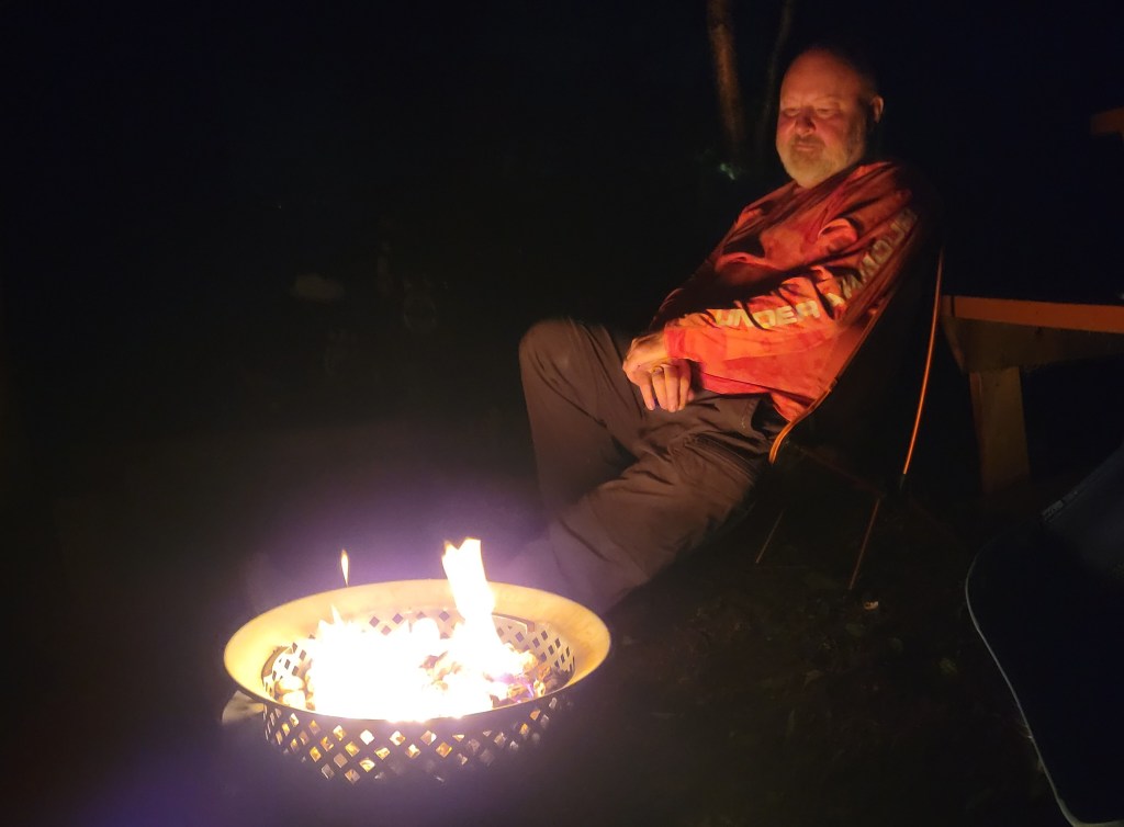
We weren’t permitted to have a wood fire but the campground has propane fire-pits to rent, which was a good alternative. The fire and the last of the Crown Royal warmed us from the cold air coming off the water. As the name suggests, Sainte-Luce is right on the sea, and we could hear waves breaking on the beach from our tents, no sleep app needed.
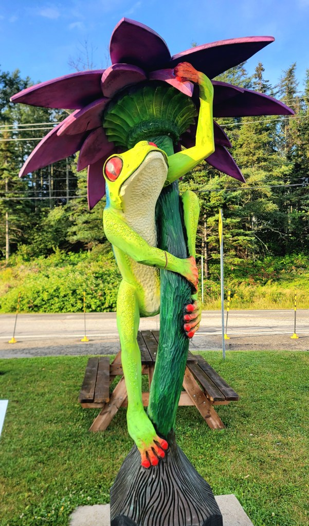
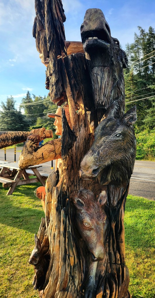
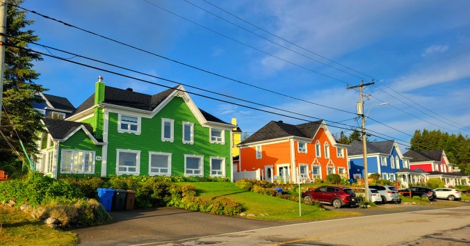
I slept like a baby in my hammock and was up at dawn. I went down to the boardwalk and took in the beach, the wood sculptures, and the colourful homes. Sainte-Luce-sur-Mer is a pretty little town worth a stop if you are passing through.
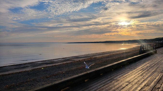
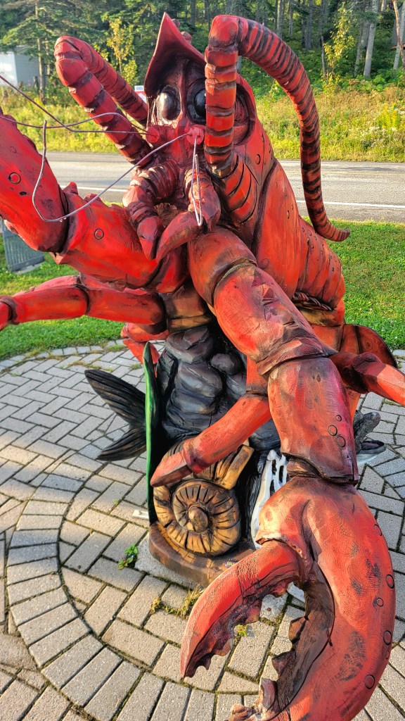
On our final day, we continued along the 132 as far as it was interesting, which is to say, until La Pocatière, stopping in Kamouraska for a coffee mid-afternoon before the big push. 4+ hours on the highway on the Honda was the price I paid for having a trail bike in the ZECs and riding into Gaspésie, but it was all worth it. As I pulled off the highway into my little village on the West Island of Montreal, I noticed people on the street with their phones out, photographing something behind me. Once I pulled into my driveway and turned off the bike, I saw it was a massive, brilliant, double rainbow. It was an appropriate ending to a short but colourful tour through south-eastern Quebec.
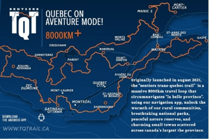
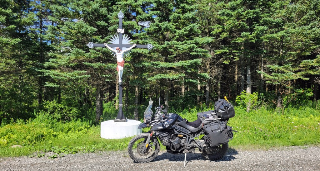
Image Credit: RidAventure.ca. We did roughly from Sherbrooke to St-Anne-Des-Monts.

Solo on the Trans Quebec Trail

It wasn’t the tour I had planned, but the best adventures rarely are.

The original plan was finally to ride The Blue Ridge Parkway down into West Virginia and then take the MABDR and NEBDR back to Canada. Followers of this blog will know I’ve been trying to do this bucket list ride for the past several years, but something always gets in the way. This past season it was the ridiculous rhetoric coming out of President Trump’s mouth about Canada being the 51st state. Statements like that are disrespectful toward all Canadians at best and mildly threatening at worst. Despite how much I was looking forward to that tour, I decided to exercise what little agency I have as a Canadian by participating in the boycott.

I got to thinking that, while we don’t have BDRs here in Canada (yet), we do have the TCAT (Trans Canada Adventure Trail), and it’s the same idea. I thought I might do the section named The Forest that goes from Baie Comeau, Quebec, west to Kenora, Ontario, so essentially across the two largest provinces in Canada, mostly off road. The TCAT takes you through some very remote regions and would have been quite a challenge, especially solo.

Why solo, you ask? Well, it wasn’t for lack of trying. I put the word out to my riding buddies, but there was none who could get away from work and family commitments for the length of time I was considering, and others who could but had other stuff get in the way. I’m used to touring solo, although this would be the first time solo off road, which is never advisable. It’s always better to ride with a buddy, but if I got into trouble, I had a Garmin inReach Mini to help get me out.

Then my riding buddy Riley reminded me of the TQT, the Trans Quebec Trail. Same idea but closer to home and, more importantly, with an accompanying app. The concern I had with the TCAT is whether the tracks would be up to date. I’d come across this liability before when doing a section of it south of Calabogie, Ontario. A bridge was out but not indicated in the tracks I purchased, and this led to being stranded on a hydro line overnight. However, the TQT has an app and users can report a problem easily in real time, so you know the route is kept current. The app also includes information on gas stations, restaurants, campgrounds, accommodations, hospitals, and more, taking a lot of the burden out of this aspect of touring and providing some support and peace of mind. That decided it: I’d ride as much of the TQT as I could.

On the shakedown ride, the Tiger started having intermittent starting issues—not the usual slow-crank kind but a new no-crank kind—nadda, nothing. After a few minutes, it would crank and fire fine so the problem was clearly heat-related. Given where I was going, I decided to rig up a jumper cable from the starter terminal to up under the seat by the battery. If the bike started acting up in the middle of nowhere, I could bypass the ignition system by touching it to the Pos terminal of the battery.

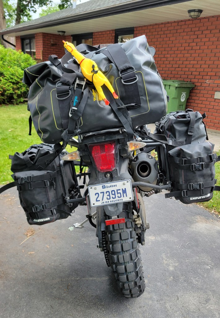
My departure date arrived and I was loaded up and ready to go. Unfortunately, despite my best efforts to avoid a duffle bag on the tail, in the end I needed it because I was trying hammock camping and needed the room for an insulation pad that goes under the hammock. The duffle, however, was very light, containing the pad, my sleeping bag, and a few other items. It looks worse than it was.

Safety chicken with his seatbelt on a little too tight.

I bombed down to Magog where I planned to pick up the TQT—2 hours of highway riding east of Montreal. It was hot, very hot, maybe not by Nevada standards but enough to make my phone battery overheat. When I reached the route, it took me some time to orient myself with the app. That involved some starting and stopping at the side of the road as I fiddled with my phone, and on one occasion, the bike wouldn’t restart, the same problem I was experiencing before. I figured it was because the lithium battery in the bike, like in my phone, was overheating, a problem I’d experienced before with another lithium battery. Using the jump wire, I found that the starter cranked just fine but the bike didn’t start. It was like it wasn’t getting any fuel. Not good. (At the time, I guessed that the ECU must need power to regulate the fueling, but I discovered much later that the issue was actually a loose wire into the fuel pump relay.) With the entire three weeks of remote riding ahead of me, I decided to err on the side of caution and return home.

The next day I started out again, this time with an old AGM battery in the bike. I rode again hard down to Magog, then stopped and started the bike several times, stressing the bike to test it as best I could before committing to the tour. It seemed to be starting fine now so on I went.

With these glitches behind me and the bike running great, I could finally enjoy the ride, and enjoy I did! I’ve never been east of the Townships up into the Mégantic Mountain Range but this region is beautiful. I passed through rolling hills and farmland in the valleys. The riding is not technical but mostly hard-packed dirt and gravel, which is good if you’re fully loaded.

Farmland near Dixville, Quebec.

The Tiger is perfect for this stuff, and since putting a Mitas Enduro XT+ on the front, the front end is planted, giving me a lot of confidence compared to when I had an Anakee Wild washing out on me.

As you can see, I was climbing up into the mountains as I headed northeast. The time came to start looking for a camping spot for the night. This is where the app is really helpful. It automatically detects when you are on the route and brings up sidebar information like next gas station, nearby attractions, and other options. One option is Campgrounds, and pressing it brings up nearby campgrounds relevant to your geolocation. I saw there was one a few kilometres away and pressing on it gave me the option to navigate there in the app of my choice. Nice! I might be explaining this slightly wrong, but trust me, it’s easy, and the next thing I knew I was pulling in to Camping Mont-Mégantic.

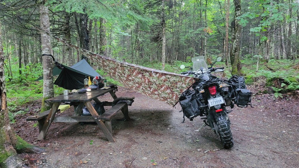
It was starting to rain so I quickly strung a tarp over the picnic table and made my dinner.
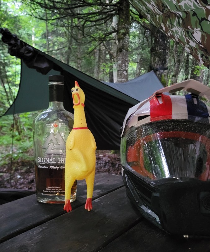
My drinking buddy likes to sing but doesn’t have much of a voice.

When the sun went down, it wasn’t long before I was in my hammock, enjoying listening to the rain on the tarp.

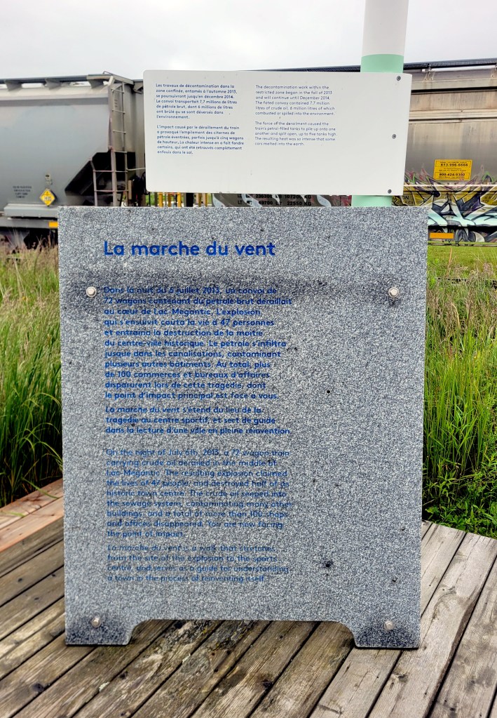
The next day started with a ride down into the lovely town of Lac-Mégantic. If that name sounds familiar, it’s because the town is the site of one of the worst industrial disasters in Canadian history. I soon found the memorial at the place where the accident occurred.

The inscription is a little difficult to read in the photo above so I’ve transcribed most of it below.

On the night of July 6th, 2013, a 72 wagon train carrying crude oil derailed in the middle of Lac Mégantic. The resulting explosion claimed the lives of 47 people and destroyed half of its historic town centre. The crude oil seeped into the sewage system, contaminating many other buildings and a total of more than 100 shops and offices disappeared. You are now facing the point of impact.

It was a moving and reflective moment, and I will admit, the feeling that came to me at the time in addition to sadness was anger, not at the oil industry or the railway workers. The accident was just that—an accident—and I’m not going to fault anyone for being human. No, my thought went to environmentalists who think they can solve our oil dependency by blocking pipelines. As I write this, about one third of global energy consumption is oil, and while it’s slowly dropping, we are still very much in need of moving oil across geography. Blocking a pipeline from being constructed, however well intentioned, does not erase the need. The oil is simply moved by freight instead, sometimes through populated areas like Lac Mégantic. Oil passes less than a few hundred meters from my house.

I don’t have the space here or the expertise to wade into the renewable versus fossil fuel debate. What I will say, however, is that blocking pipelines is short-sighted. A pipeline like the Trans Mountain Pipeline is an easy target, the proverbial line in the sand, but getting Alberta’s oil to global markets means Canada is less reliant on The United States as its sole buyer and can demand international market prices. More importantly, according to one study by the National Bank, getting China and India off of coal will reduce more CO2 emissions than what Canada produces as a whole. In fact, transitioning China alone off of coal will eliminate 8 times the amount of CO2 that Canada produces.

Of course, none of this was in my head as I stood at the site of the disaster and tried to imagine the devastation that the explosion caused, but I was thinking of the Quebec Government’s opposition to the Energy East pipeline proposal. Recently under increased demand for inter-provincial cooperation and trade, there has been a softening. The issues surrounding proposed pipelines are nuanced and complex, but my hope is that decisions are made based more on pragmatic calculations than political ideology or regional interests.

As I stood on the platform, a train carrying oil slowly passed through town, and it seemed to me that families came to witness it. The train was somehow central to this community, part of its collective memory and culture. The marche du vent is a walk that serves “as a guide for understanding a town in the process of reinventing itself,” and I was glad that a moment of reflection at this historic site was a part of my adventure.

I climbed back onto the bike and burnt some more fossil fuels. At times, the route narrowed to single-lane road so I had to keep my speed down and ride right.

I stopped in Saint George for lunch, then continued on northeast through the Beauce. This region is surprisingly still part of the Appalachian Mountains and the route seemed to zig zag back and forth across mountain ranges, providing a lot of fun riding and some spectacular views.

Somewhere around Frampton, QC, looking north toward Quebec City.

My planned destination for the day was just south of Rivière du Loup, where a friend has some property, but my progress was slow. You can’t really get out of 3rd gear on these roads, nor would you want to. In some sections, the route narrows further and becomes sandy, and there were other delays.

As the afternoon progressed, I had a decision to make: whether to start looking for a campsite or to bail on the TQT and get to my buddy’s property where he said I could pitch. I was curious to see his property and the log cabin he was building there, and I was ready to get out of the forest and nearer the coast, so I decided on the latter. 90 minutes of highway riding later, I was there just as the light was beginning to fade. Unfortunately, I happened to be there in one of the rare times that he was back in Montreal.

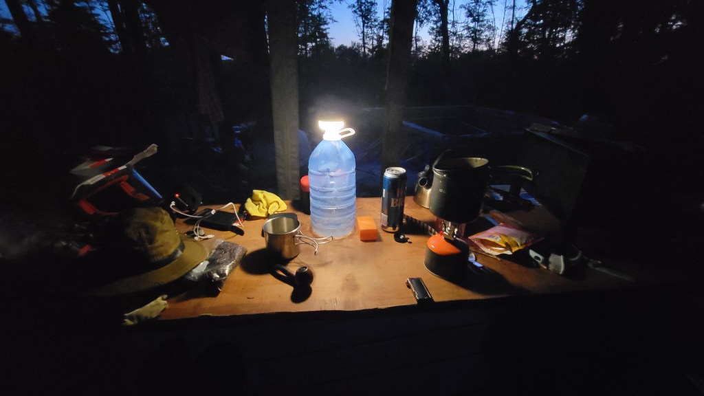
Bagged curry and beer dinner in the fading light.

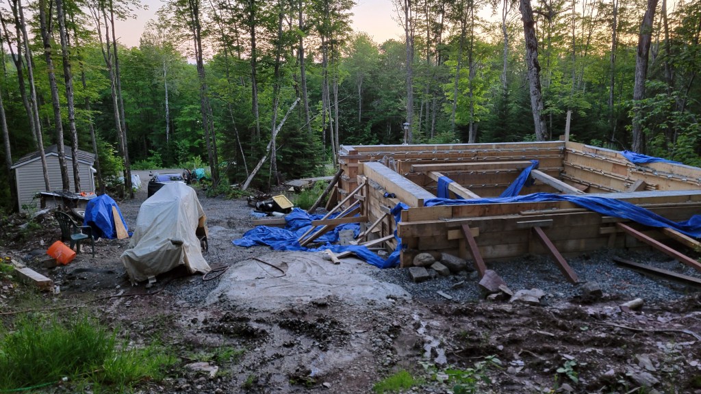
In the morning, I could see that Mark had the foundation poured. He now has the walls up and the roof on, hydro in, and windows and doors installed. That’s pretty impressive for one summer’s work, given that he’s virtually working alone with only his wife to help and provide food services. The only thing he didn’t get to was the chinking, so that will have to be done in the spring. (He has the cabin insulated though.) If you want to see how he’s done most of this construction and other work, check out his YouTube channel, Fierce Tartan. There you will see the nearly-finished project and how he managed to lift those huge beams into place on his own.

The workshite. As with most construction, it’s pretty messy and all comes together at the end.

I decided to stay a second night so I could rest a bit and enjoy the area. I went up to the local public beach for a swim, then rode into town to buy a cheap polar blanket because, even with the insulating pad, I wasn’t warm enough at night.

The camper’s bathtub.

I had mixed feelings about bailing the day before. I tend to get goal fixated and not riding all the TQT to RDL felt like a fail. Honestly, what concerned me was the ZEC section I was heading toward, just south of La Pocatière and Kamouraska. ZECs are nature reserves and there really isn’t anyone in them this time of year when it’s not hunting season. The route skirts the US-Canada border east to Pehénégamook before turning north toward Rivière du Loup. That section looks really interesting as it follows the Notre Dame Mountain Range but would have to wait until I could return with some riding buddies.

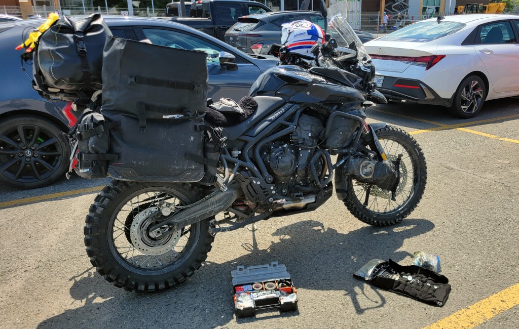
Atlas throttle lock needed adjustment. Every tour requires some parking lot maintenance.

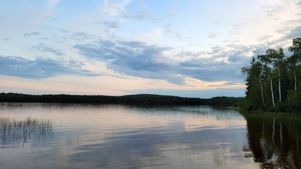
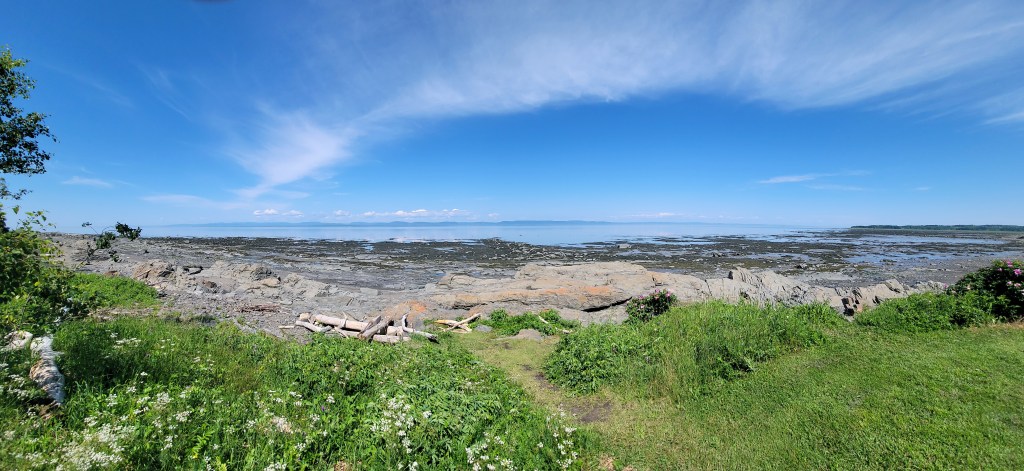
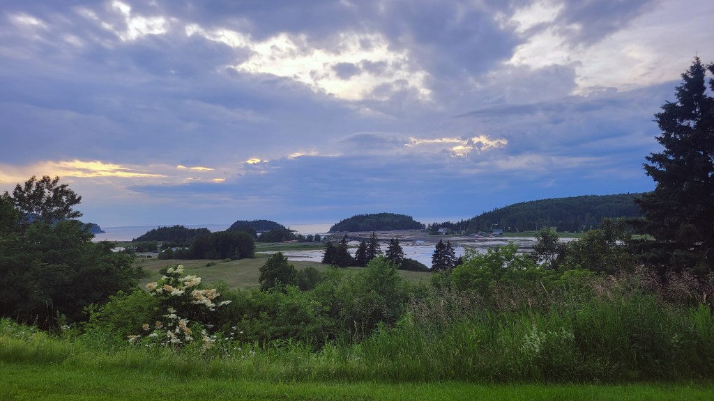
After a McD’s breakfast, I followed my nose and found what I was looking for—a sunny, grassy, spot on the shoreline where I could read and nap in the shade. This is technically still the St. Lawrence River but you can see there is a tide. The water begins to become brackish, and just east it widens into the gulf.

After two days of boreal forest, this is what I was craving and was happy that the route east follows the shoreline a short ways before turning inland again. The next day’s riding took me through more small towns, some with unusual attractions.

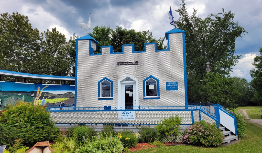
Can Castle in Saint-Jean-de-Dieu. 27,927 cans used to make this castle. Apparently somebody counted.

But mostly it was more and more forest on gravel roads, and some of it quite remote.

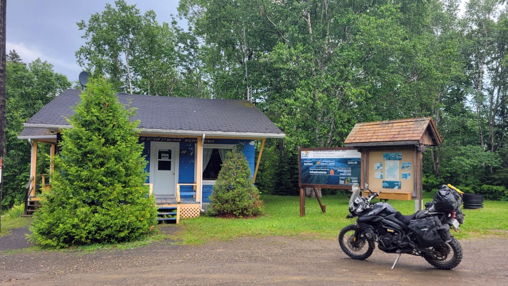
The northern gate of Reserve Duchenier.

The route now was taking me deeper into the bush and at the same time it began to rain. I decided again to detour off and go back to the coast. By the time I reached Bic, just west of Rimouski, it was pouring so I decided to splurge on a room for the night. Okay, call me a wimp, but one of the gifts of ageing is good judgment.

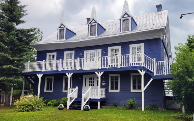
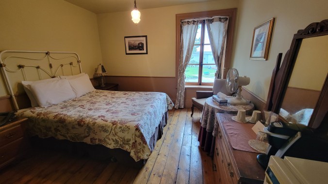
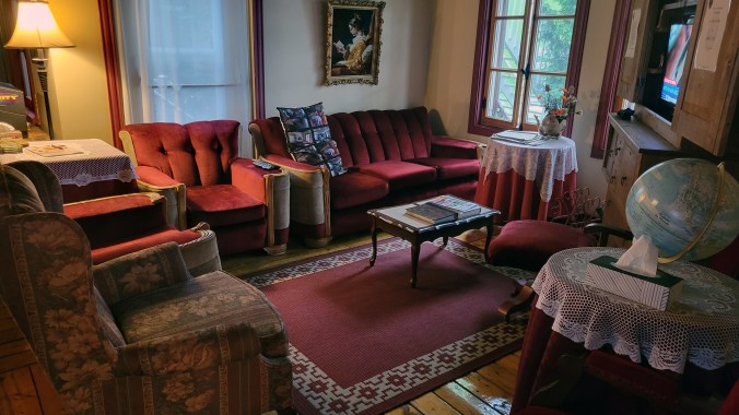
The Auberge des Îles du Bic was constructed in 1840. Rates were very reasonable and came with breakfast. The owner let me borrow the outside tap to hose down my bags before bringing them into the room.

The next morning I went exploring. I’d heard about Parc national du Bic and I was hoping to get a campsite there. Unfortunately, the campground is popular and they had no open sites. A neighbouring private campsite wasn’t very nice, and I was having trouble finding trees near the shore to string a hammock. At the same time, I was coming to some conclusions about the tour thus far.

For one, I wasn’t enjoying the solo touring as much as I had in the past. The shakedown ride with the boys on The Timber Trail in Kawartha Lakes was really fun and I was missing that camaraderie. Or perhaps I was now used to having Marilyn riding pillion. When I’d toured solo before, it was on the street where you run into people and are approached in coffee shops and gas stations. At any rate, riding solo for hours during the day through remote forest was lonely.

I also found that, while the off-road route involved potentially more interesting riding, I had to ride conservatively because I was alone. I didn’t feel comfortable venturing hundreds of miles into a nature reserve alone, and I was having some difficulty finding wild camping or campgrounds where I could string my hammock. Aside from the last few hundred kilometres into Rivière du Loup, I’d accomplished my primary goal of riding the TQT from Magog to Rimouski.

It was sometime around then that I decided to change my plans for the remainder of the tour. I would visit a good friend in central Nova Scotia instead and spend the following week touring that province’s western coastline, a region I’d never fully explored before. It would mean more asphalt and more tourists, but also more cafes, bookshops, and microbreweries. I will definitely be back on the TQT next summer and hope to go further, into Gaspesie and over the Chic-Choc Mountains. Next time I will come with friends.

Foreboding skies over Parc national du Bic.

Do you have any thoughts about my decision? Itchy Boots and Lyndon Poskitt and many other ADV riders ride solo. Am I getting old and soft or old and wise? The solo versus group tour debate is an interesting one. What is your preference? Drop a comment below and click Follow if you want to hear how the rest of the tour through NS goes.